 vesseltracker.com
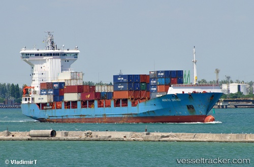
Vessel '622110051' IMO: 9236286, MMSI: 622110051
UTC, 31.40500, 32.44167, course: -1, speed: 0
UTC, 31.40589, 32.44282, course: 217, speed: 1.4
2026-01-31 05:20:08 UTC, 31.40649, 32.44213, course: 192, speed: 0.2
Live AIS position:
UTC. 11 nm NE of Port Said),
updated 2026-01-31 05:20:08 UTC.
Find the position of the vessel '622110051' on the map. The latter are known coordinates and path.
marine traffic ship tracker show on live map
The current position of vessel '622110051' is 31.40649 lat / 32.44213 lng. Updated: 2026-01-31 05:20:08 UTCDetails:
Last coordinates of the vessel:
UTC, 31.40333, 32.44333, course: -1, speed: 0UTC, 31.40500, 32.44167, course: -1, speed: 0
UTC, 31.40589, 32.44282, course: 217, speed: 1.4
2026-01-31 05:20:08 UTC, 31.40649, 32.44213, course: 192, speed: 0.2